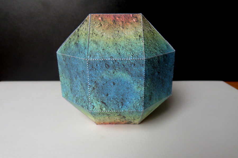
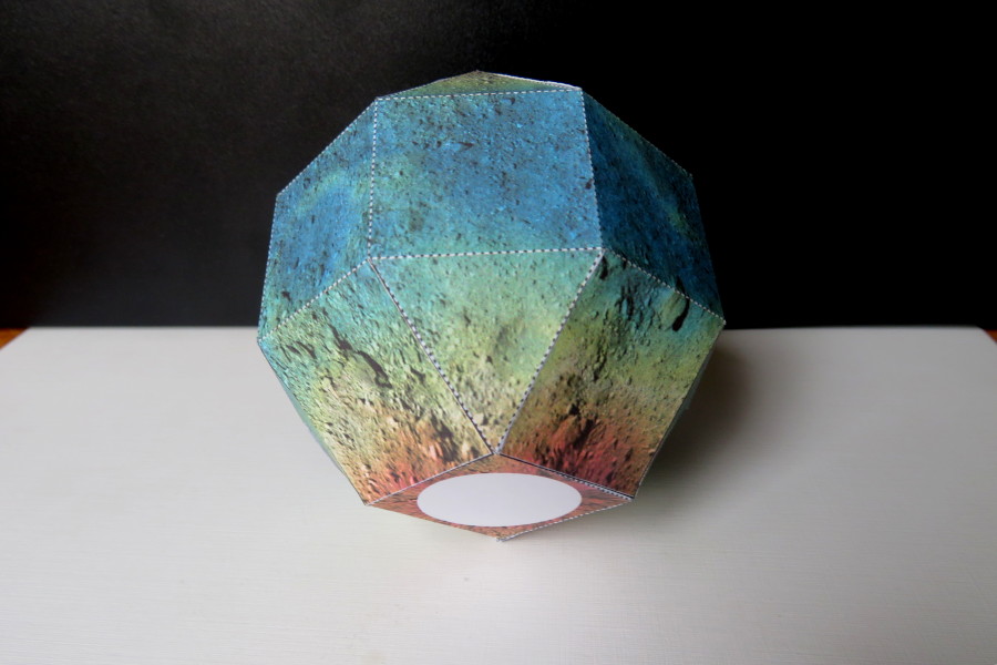
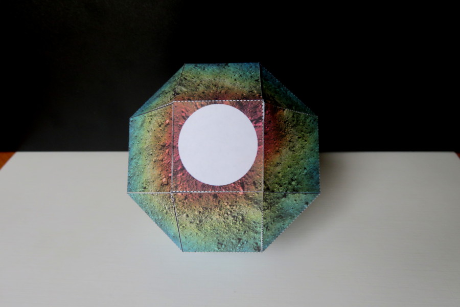
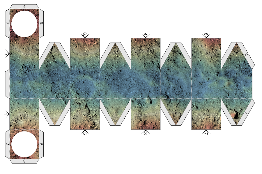
Papercraft asteroid Bennu with elevation map
Download
- Bennu pattern (5.2 MiB PDF file)
History
- 2019-06-28 - Compressed textures to make PDF file smaller.
- 2019-05-06 - Initial release.
Dimentions
- Size: 9,0 cm x 9,0 cm x 9,0 cm
- Scale: 1/3000
Description
Papercraft polyhedral model of asteroid Bennu (101955 Bennu, 1999 RQ36) with the global elevation map. As of 2019 Bennu is being explored by the OSIRIS-REx probe. Gradient from blue to red shows elevation above the geopotential from 0m (blue) to 70m (red). No data about polar regions at >70 degrees seems to be available.
Tools
- Blender
- GIMP2
- Paper Model plug-in
- My Autohedron scripts for converting geographic projection into a polyhedron
Credits
Map of Bennu by NASA/Goddard/University of Arizona: Global Elevation Map of Asteroid Bennu


